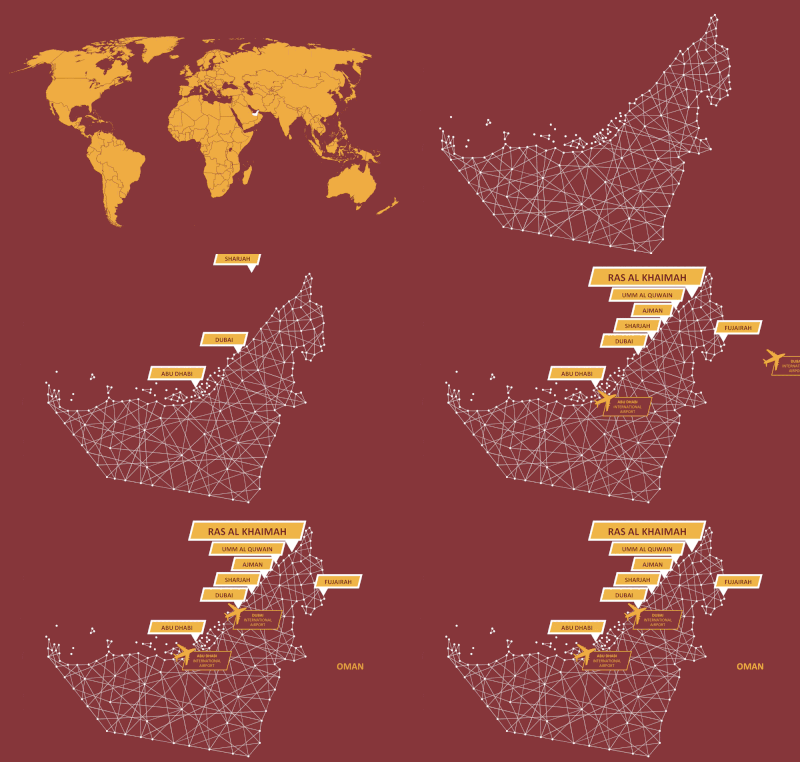
Ras Al Khaimah is the northernmost emirate of the United Arab Emirates. It has borders with Oman and three other emirates:
Ras Al Khaimah is the fourth largest emirate, covering 2,486 square kilometres. This is roughly 2.97% of the UAE’s total land area.

To the east of the emirate is a spectacular mountain range called the Ru’us Al Jibal, which is part of the Hajar Mountains. These mountains were formed more than 70 million years ago.
Jebel Jais, at 1,934 metres, is the highest peak not just in Ras Al Khaimah, but the entire UAE.

The emirate is also famous for its palm groves and fertile soil, which have provided food and shelter in the region for many centuries. Ras Al Khaimah’s uniquely terracotta-hued desert is also one of the most fertile in the region due to higher-than-average rainfall.
Ras Al Khaimah is divided into two by a natural creek, which connects the souks and old town with the modern city.
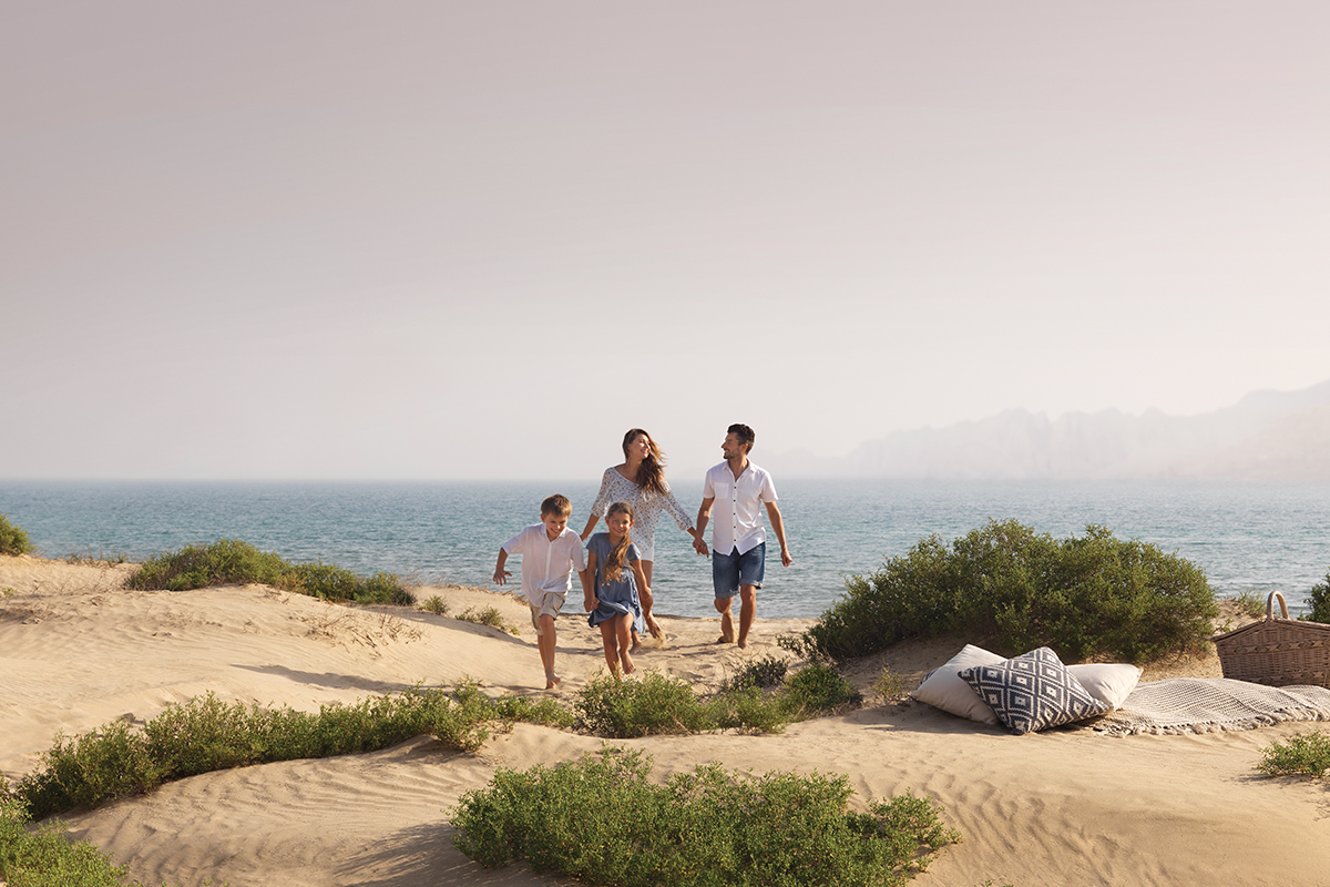
The 64km stretch of coastline is quite spectacular and lined with beautiful white-sand beaches, natural lagoons and man-made islands.

The village of Khatt is famous for its three natural springs. The pools here can reach temperatures of 38°C and are known for their wellness and health benefits.
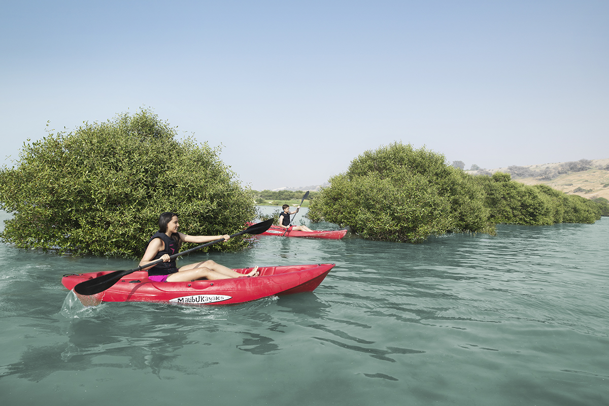
A vast area of mangroves extends right into the centre of the city, bringing a beautiful sense of nature and greenery into the urban landscape. The mangroves are home to a variety of wildlife, including flamingos.
